Mullayanagiri Peak rises to 1,930 metres above sea level, making it the highest peak in Karnataka. Located in the Western Ghats near Chikmagalur, it attracts trekkers, nature lovers, and travellers seeking mountain views. Visitors can choose between the longer Sarpadhari trail and a shorter climb from the upper parking area.
This guide covers Mullayanagiri trekking routes, travel options, the best time to visit, nearby attractions, and practical tips for planning your trip. It also explains how to combine your visit with a relaxing stay in the Chikmagalur region.
Begin Your Journey to Karnataka’s Tallest Summit

Located approximately 20–25 km by road from Chikmagalur town, depending on the starting point and route, Mullayanagiri is accessible through winding mountain roads. Its location in the Baba Budangiri range makes it a popular destination for visitors travelling from Bengaluru, Mysuru, and other parts of Karnataka.
The journey offers views of rolling hills, grasslands, and forested slopes. Visitors can enjoy the scenery on a summit drive or experience the landscape on foot by following one of the trekking routes.
Discover the Charm of Mullayanagiri

Mullayanagiri is part of the Baba Budangiri range in the Western Ghats. The peak is associated with Mullappa Swamy, a sage traditionally believed to have meditated in a cave near the summit. A small temple dedicated to him reflects the area’s spiritual importance.
Beyond its cultural significance, the surrounding region offers access to mountain viewpoints, waterfalls, lakes, and coffee plantations. Travellers can combine a visit to Mullayanagiri Peak with other attractions around Chikmagalur.
What Makes the Mullayanagiri Trek So Popular

The Mullayanagiri trek attracts visitors with its mountain scenery and different route options. The longer trail from Sarpadhari involves steep and rocky sections, while visitors using the upper parking area can reach the summit by climbing approximately 500 steps.
How long does the Mullayanagiri trek take? The duration depends on your starting point, walking pace, weather, and trail conditions. The Sarpadhari route requires a longer hiking commitment than the summit steps and is better suited to visitors comfortable with uphill walking.
Along the way, trekkers can enjoy grassy slopes, rocky ridges, and views of the surrounding Western Ghats. Plan enough time for breaks and a safe return
Mullayanagiri Trek Difficulty, Distance, and Duration
Mullayanagiri offers two different ways to approach the summit. The Sarpadhari trail is suited to trekkers who want a longer climb across uneven mountain terrain. Its duration depends on the selected starting point, fitness level, rest breaks, and weather conditions.
Visitors looking for a shorter route can travel towards the upper parking area and climb approximately 500 steps to reach the summit. Although shorter, this approach still includes a steep stairway.
Beginners should choose a route based on their physical ability rather than assuming the entire trek is easy. Confirm current trail access and allow additional time during wet or misty weather.
The Sarpadhari Route: A Thrilling Climb to the Peak

The Sarpadhari route is a well-known trekking trail leading towards Mullayanagiri Peak. Its winding path includes uphill sections, uneven ground, and exposed stretches that require appropriate footwear and careful footing.
Visitors who prefer a shorter approach can drive towards the upper parking area, subject to local access restrictions, and continue on foot using the summit steps. This option reduces the trekking distance, although the stair climb still requires physical effort.
Mullayanagiri Trek Trail: What to Expect Along the Way

The Sarpadhari route begins near Sarpadhari Gate and follows an ascending trail across rocky paths, grassy ridges, and exposed mountain sections. Some stretches may become slippery during rain, so trekkers should monitor weather conditions before starting.
Near the summit, visitors encounter a stairway leading towards Mullappa Swamy Temple. The approximately 500-step ascent from the upper parking area provides a shorter alternative to the full trekking route.
How to Reach the Base of the Trek

If you are planning how to reach Mullayanagiri Peak, consider the following travel options:
- By Air: Mangaluru International Airport is a practical airport option for reaching Mullayanagiri. Karnataka Tourism lists the journey at approximately 180 km, although the actual distance depends on the selected route. Visitors can arrange onward road transport to Chikmagalur.
- By Rail: Chikmagalur has a railway station, while Kadur Junction is another option depending on train connections. Karnataka Tourism lists Kadur Junction approximately 60 km from Mullayanagiri. Check train availability and onward transport before travelling.
- By Road: Mullayanagiri is approximately 22 km by road from Chikmagalur, depending on the route. Travellers from Bengaluru, Mysuru, and Mangaluru can reach Chikmagalur before continuing towards the hill. The final mountain roads are narrow and require careful driving.
Mullayanagiri Peak Timings, Entry Fees and Permissions
Before visiting Mullayanagiri Peak, check the latest entry arrangements and any applicable vehicle charges. The Chikkamagaluru district administration operates an official online toll booking portal for the Mullayanagiri region.
Visitor access may be regulated through booking slots, vehicle restrictions, or temporary closures during festivals and adverse weather. Do not assume that access to the summit is available at all hours.
Karnataka Tourism has published temple visiting hours of 7 AM to 7 PM, but these should not be treated as guaranteed vehicle-entry or trekking hours. Confirm the current arrangements before departure.
Check the official district toll booking information for the latest available instructions.
Where Your Trek Begins: Base Points and Routes

Visitors generally choose between two starting points for the Mullayanagiri trek:
- Sarpadhari Gate: Suitable for those seeking a longer trekking experience involving uphill trails and uneven terrain.
- Upper Parking Area: Suitable for visitors who prefer a shorter approach, followed by approximately 500 steps towards the summit.
Parking arrangements and access may change with weather, traffic, and local restrictions. Food stalls, drinking water, and washroom facilities should not be assumed to be available at every starting point. Carry the essentials you need before leaving Chikmagalur.
Parking and Facilities at Mullayanagiri Peak
Parking areas are located along the approach to Mullayanagiri, including a stopping point below the summit steps. Available parking depends on local traffic management, vehicle entry arrangements, and road conditions.
The final section of the drive follows narrow mountain roads. Visitors should park only in designated areas and avoid blocking access routes.
Food, drinking water, and washroom facilities may be limited or unavailable at some points. Carry essential supplies from Chikmagalur and avoid relying on facilities at the summit.
When to Visit for the Best Trekking Experience

September through March is generally a favourable period for visiting Mullayanagiri Peak. Post-monsoon months bring green landscapes, while winter offers cooler temperatures and often clearer mountain views.
The monsoon season, usually from June to September, brings heavy rain, slippery trails, and reduced visibility. Visitors should check weather forecasts and local access restrictions before attempting the trek.
Early morning visits can offer pleasant conditions and fewer crowds, but access must follow the permitted entry timings. Sunrise views depend on weather, visibility, and current visitor restrictions.
One-Day Mullayanagiri Trek Itinerary
For a one-day Mullayanagiri itinerary, begin from Chikmagalur town after checking the current visitor entry arrangements. Allow time for the mountain drive, parking, your chosen trek or summit climb, and breaks along the way.
After visiting the summit, consider exploring Baba Budangiri, Jhari Falls, or Hirekolale Lake if weather, access, and travel time permit. Some attractions require separate travel arrangements, so avoid scheduling too many stops in a single day.
Visitors travelling from Bengaluru may find an overnight stay in the Chikmagalur region more convenient than attempting a long return drive and the summit visit on the same day.
Essentials to Pack for a Smooth Trek

Prepare for the Mullayanagiri trek by carrying essential items suited to changing mountain conditions:
- Sturdy walking or trekking shoes with reliable grip
- Adequate drinking water and energy snacks
- A light jacket and rain protection
- Sunscreen, a cap, and basic first-aid supplies
- A fully charged phone and offline navigation details
- Personal medication and any necessary emergency supplies
Use reusable containers where permitted and follow the local rules on plastic use and waste disposal. Keep your belongings lightweight, remain on designated paths, and carry any waste back with you.
More to Explore: Attractions Near Mullayanagiri
After visiting Mullayanagiri Peak, travellers can explore several attractions across the Chikmagalur region. Popular options include Baba Budangiri, Jhari Falls, Hebbe Falls, Hirekolale Lake, and coffee plantations. Each destination offers a different experience, from mountain viewpoints to waterfalls and cultural landmarks.
Baba Budangiri – Spiritual Legends

Baba Budangiri is a mountain destination near Mullayanagiri, known for its religious significance, scenic viewpoints, and association with the region’s coffee history. It attracts pilgrims and travellers interested in the cultural heritage of Chikmagalur. Check local access arrangements before planning your visit.
Jhari Falls and Hebbe Falls – Misty Escapes

Jhari Falls, also known as Buttermilk Falls, is surrounded by forest and coffee plantations near Chikmagalur. Reaching the waterfall generally involves a separately arranged jeep journey along the final access road. Check local conditions and allow additional travel time before including it in your Mullayanagiri itinerary.
Hebbe Falls is a two-tier waterfall in the Kemmanagundi region, surrounded by forest and mountain scenery. Access may involve a designated jeep journey and local entry arrangements. Since the falls are a separate destination, plan enough travel time rather than treating them as a short stop directly beside Mullayanagiri Peak.
Hirekolale Lake – Serene Lake Views

Hirekolale Lake is a quiet retreat nestled among green hills. Ideal for unwinding, this spot is popular for photography, picnics, or simply relaxing. It’s one of the most peaceful places near Mullayanagiri.
Coffee Estate Tours – Local Flavor
Coffee estate tours offer an opportunity to explore Chikmagalur’s plantation heritage beyond Mullayanagiri Peak. Depending on the estate and tour arrangements, visitors may learn about coffee cultivation, processing, and local farming practices.
For a longer holiday, combine your mountain visit with a coffee estate stay in Chikmagalur to experience the region’s plantation surroundings.
Travel Tips for a Memorable Visit
Before visiting Mullayanagiri Peak, check the weather forecast, road access, and any visitor restrictions. Start your journey within the permitted entry period and allow extra time for narrow mountain roads.
During your visit:
- Remain on designated trekking paths.
- Avoid exposed ridges during thunderstorms or strong winds.
- Carry enough drinking water and take breaks when needed.
- Follow local instructions regarding parking and access.
- Avoid littering, disturbing wildlife, or entering restricted areas.
- Respect religious customs and seek permission before photographing people or sacred spaces.
Weather conditions can change quickly in the Western Ghats. If heavy rain, thick fog, or unsafe conditions develop, postpone the climb or return to a safer location.
Stay with Us at Ranga Taana – Your Perfect Retreat Near Chikmagalur

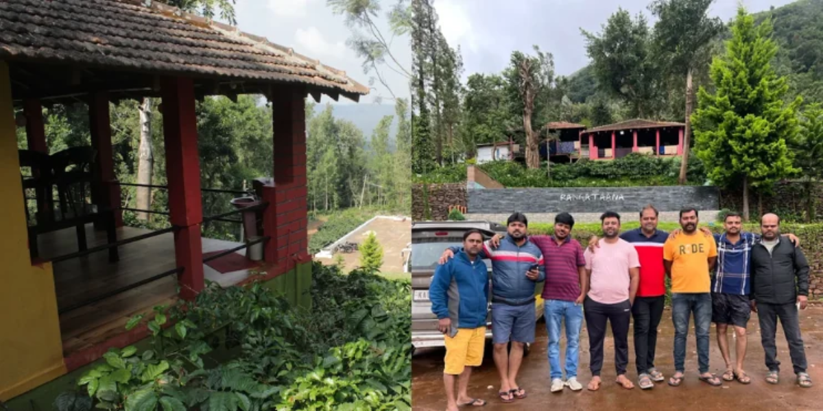
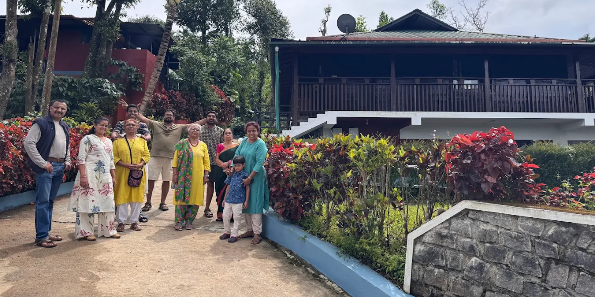
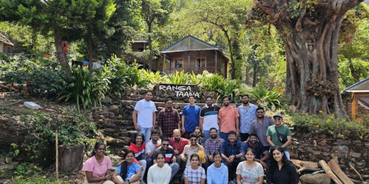
Welcome to Ranga Taana, our coffee estate resort in Tarikere Taluk, in the Chikmagalur region. Surrounded by plantation greenery and the hills near Kemmanagundi, we offer a peaceful setting for travellers exploring the area’s natural attractions.
Our wooden cottages, local Malnad meals, and nature-based experiences provide opportunities to relax after sightseeing or trekking. Guests can explore the region and return to a comfortable stay surrounded by coffee plantations.
Planning a Mullayanagiri trek or a longer Chikmagalur holiday? Explore our accommodation and contact Ranga Taana to plan your visit.
Final Thoughts: Mullayanagiri is Calling
Mullayanagiri Peak offers visitors the opportunity to experience Karnataka’s highest summit, scenic trekking trails, and the cultural heritage of the Western Ghats. Choosing the right route, checking access conditions, and preparing for changing weather can make your visit easier to plan.
If you have additional time, explore nearby waterfalls, lakes, and coffee plantations across the Chikmagalur region. Plan your travel arrangements in advance and choose accommodation that fits your wider itinerary.
Planning to explore Mullayanagiri and other Chikmagalur attractions? Book your stay at Ranga Taana and enjoy a relaxing coffee estate getaway near Kemmanagundi.
Frequently Asked Questions About Mullayanagiri Peak
Is the Mullayanagiri Trek Difficult for Beginners?
The difficulty depends on the route. The Sarpadhari trail includes steep and uneven sections, while the shorter approach from the upper parking area involves approximately 500 steps. Beginners should consider their fitness and current weather conditions.
How Long Does It Take to Reach Mullayanagiri Peak?
The time required depends on the selected starting point. The longer Sarpadhari trail takes considerably more effort than climbing the summit steps from the upper parking area. Allow additional time for breaks and changing weather conditions.
What Is the Best Time to Visit Mullayanagiri Peak?
September through March generally offers favourable conditions for sightseeing and trekking. The post-monsoon season brings green landscapes, while winter often provides cooler temperatures and clearer views.
Can You Reach Mullayanagiri Peak by Car?
Visitors can drive towards the designated parking area near the summit, subject to local vehicle restrictions. From the upper parking area, reaching the summit generally involves climbing approximately 500 steps.
Are Entry Fees or Permissions Required at Mullayanagiri?
Vehicle entry and access arrangements can change. The district administration provides an online toll booking portal for the Mullayanagiri region. Check current charges, permissions, and restrictions before travelling.
What Are the Places to Visit Near Mullayanagiri Peak?
Popular attractions in the wider Chikmagalur region include Baba Budangiri, Jhari Falls, Hirekolale Lake, Hebbe Falls, and coffee plantations. Plan these stops according to their distance, access conditions, and available travel time.